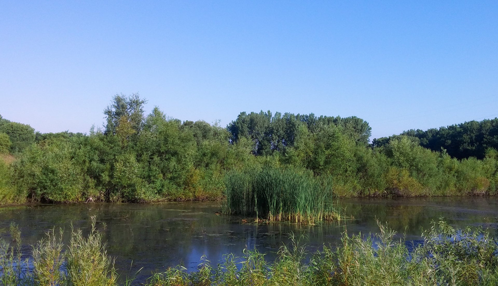
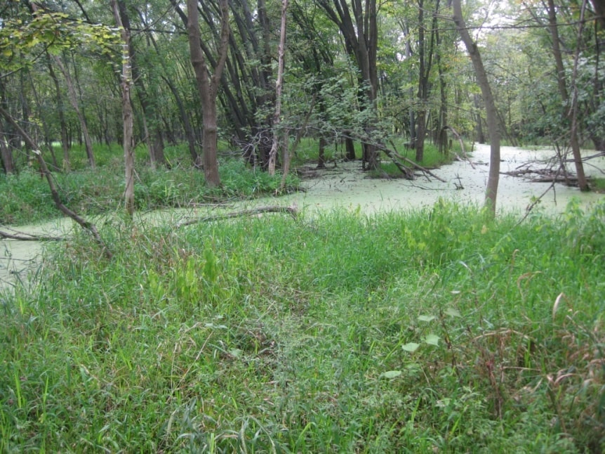
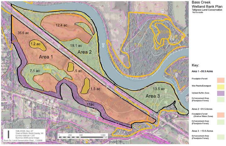
Tallgrass designed, permitted, constructed and will continue to manage a wetland mitigation bank on a 115-acre floodplain forested property in the Town of Rock in Rock County, Wisconsin.
Located within the Rock River Basin, the predominant land use in this area is agriculture, and on the most productive land in the state. The results of such productive agricultural land, however, were drained and altered wetlands, stream channelization, groundwater contamination, and increased runoff that carries soil, nutrients and pesticides in the surface waters.
A large portion of the historical pre-European wetlands of this area have been destroyed by agricultural, urban, and transport development. The Rock River Basin is designated as having the second most contaminated groundwater in the state, due in large part to pesticides and nitrogen from agriculture.
Soils at the Bass Creek Mitigation Bank site are principally Otter Silt Clay Loam, derived from fluvial hydric soils occurring amongst historically forested and wet prairie community types.
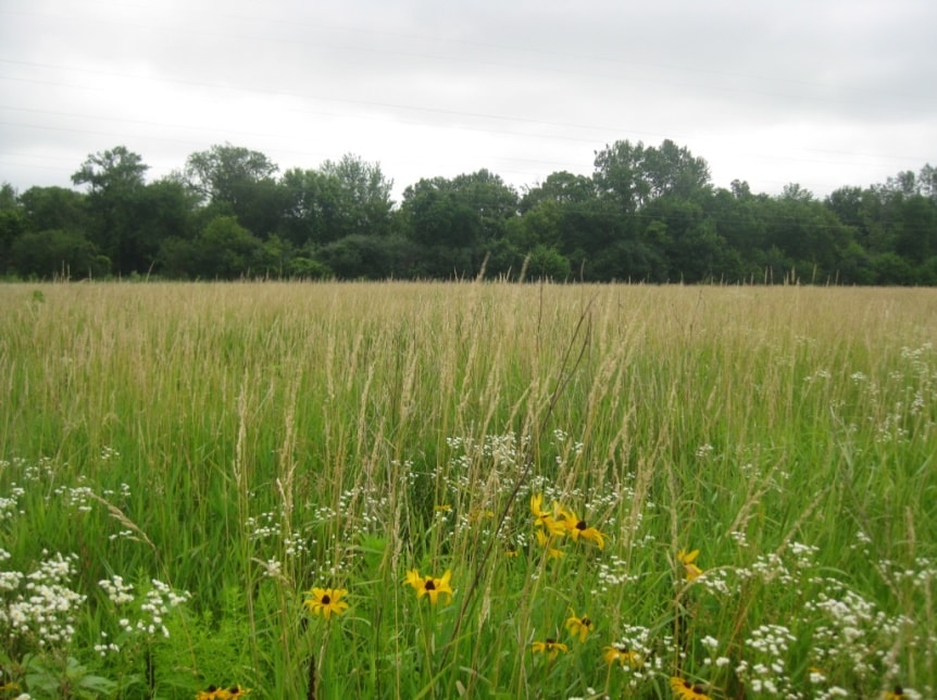
In 2014, Tallgrass removed invasive plants and planted wetland plants and trees to restore the native floodplain forest, wet shrub, and wet prairie-emergent plant communities that historically existed at the confluence of the Rock River and Bass Creek.
The scope of his project also includes ten-year management compliance monitoring. Permittees seeking fresh (wet) meadow, shrub-carr, or hardwood swamp wetland mitigation credits may contact us for availability.
The site will improve wildlife habitat and diversity, increase plant diversity, and provide passive recreational opportunities.